Delhi on High Alert! IMD Issues Red Warning for Thunderstorms & Gusty Winds Today ⛈️

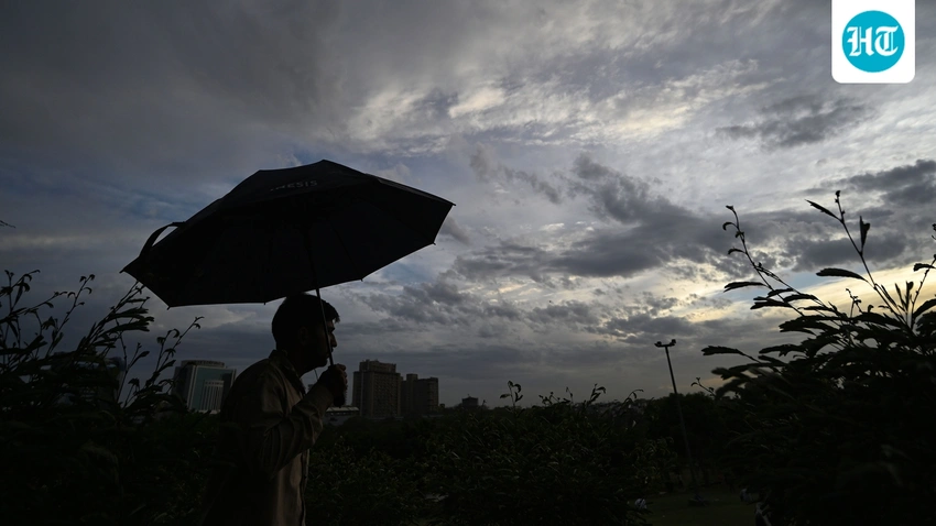
Delhi on High Alert! IMD Issues Red Warning for Thunderstorms & Gusty Winds Today ⛈️
Delhi residents, brace yourselves! The IMD has issued a red alert for thunderstorms, strong winds up to 80 kmph, and light rain. Stay safe and informed as weather conditions intensify across the capital today.
Delhi is on high alert as the India Meteorological Department (IMD) has issued a red warning, the highest level of weather alert, for most parts of the capital. The forecast includes very light to light rain, thunderstorms, and powerful winds expected to gust up to 80 kmph. This comes after parts of the city received light showers earlier on Monday morning, with Palam recording the highest at 1.3mm between 5:30 am and 8:30 am.
The red alert covers a wide area, including North, Northwest, Northeast, Central, East, and parts of Southeast, West, and New Delhi, as well as all of Shahadara. The IMD indicated that an intense convective cloud mass, moving southeastwards from Haryana's Rohtak, is likely to impact these regions. Other areas like Bawana, Rajouri Garden, Patel Nagar, Safdarjung, Lodi Road, Buddha Jayanti Park, President House, Rajeev Chowk, ITO, Kalkaji, Tughlakabad, and parts of Haryana like Kharkhoda and Palwal, are also expected to experience light rainfall with thunderstorms.
While the city recorded a minimum temperature of 28.2°C, the mercury is anticipated to soar, reaching between 38°C and 40°C today. Despite the impending rain, the week's forecast suggests that temperatures could even touch 44°C, with thunderstorms also predicted for Tuesday afternoon. The Air Quality Index (AQI) was noted at 135 (moderate) at 9 am. Residents are advised to stay updated on weather developments and take necessary precautions amidst these dynamic conditions.
