How Satellite Cameras Work: From Photogrammetry to High-Orbit Geospatial Data Collection

How Satellite Cameras Work: From Photogrammetry to High-Orbit Geospatial Data Collection
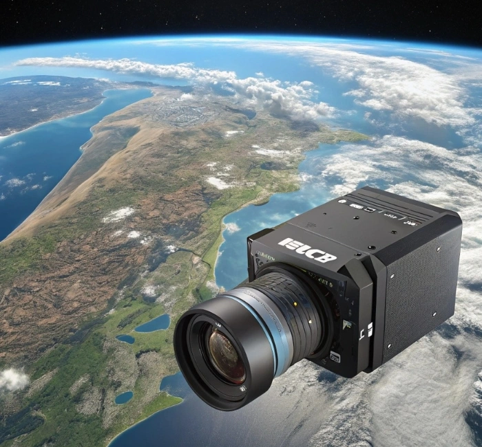
Have you ever looked at a detailed map on your phone and wondered how it's possible to see every street and building from above? Satellite cameras 🔗 make this a reality, capturing high-resolution images and data from space to support everything from urban planning to environmental monitoring. These advanced devices, part of intricate satellite camera systems, use cutting-edge technology to gather geospatial information that's essential for our modern world. In this article, we'll explore the inner workings of satellite cameras, focusing on photogrammetry mapping and high-orbit data collection, while highlighting innovative solutions like those from Phase One.
Here are some key issues surrounding satellite cameras:
- Orbit Challenges: Maintaining image quality from low Earth orbit (LEO) to geostationary orbit (GEO) requires precise engineering to handle distance and movement.
- Data Accuracy: Ensuring reliable photogrammetry mapping 🔗 demands high-resolution sensors that can detect subtle surface changes.
- System Integration: Satellite camera systems must seamlessly combine hardware, software, and data processing for real-time applications.
- Technological Advancements: Brands like Phase One are pushing boundaries with durable, high-performance cameras for geospatial needs.
The Fundamentals of Satellite Cameras
Satellite cameras are essentially eyes in the sky, designed to photograph Earth from hundreds or thousands of miles away. They operate by detecting electromagnetic radiation, including visible light and infrared, reflected off the planet's surface. This data is then transmitted back to ground stations for analysis, forming the backbone of geospatial intelligence.
Unlike traditional cameras, satellite cameras must withstand extreme temperatures, radiation, and vacuum conditions in space. Their lenses and sensors are optimized for wide swaths of coverage, often scanning large areas in a single pass. This makes them invaluable for monitoring global changes over time.
How Satellite Camera Systems Capture Images
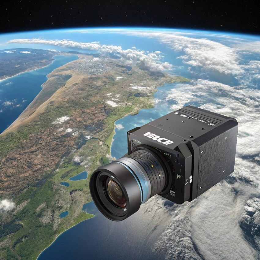
A typical satellite camera system includes sensors, optics, and onboard processors that work together to acquire data. As the satellite orbits, the camera "pushes" or "whisks" across the landscape, collecting pixels that build into full images. Advanced systems can slew side-to-side for targeted captures, maximizing efficiency during each orbit.
These systems often use charge-coupled devices (CCDs) or complementary metal-oxide-semiconductor (CMOS) sensors to convert light into digital signals. The data is compressed and beamed down via radio waves, ensuring minimal loss in quality. This process allows for rapid geospatial data collection, even from high orbits.
Resolution plays a crucial role in satellite camera systems, with some achieving sub-meter accuracy. Factors like altitude and sensor size determine how detailed the images are. Higher orbits might sacrifice some resolution but provide broader, continuous coverage.
Photogrammetry Mapping with Satellite Cameras
Photogrammetry mapping involves using overlapping images from satellite cameras to create 3D models and maps of Earth's surface. By analyzing the parallax between stereo pairs—images taken from slightly different angles—software reconstructs elevations and features accurately. This technique is widely used in surveying and disaster response.
Satellite cameras excel in photogrammetry because they can capture vast areas quickly, reducing the need for ground-based measurements. The process starts with image acquisition, followed by point matching and triangulation to generate digital elevation models (DEMs). This results in precise maps for applications like urban development.
One challenge in photogrammetry mapping is atmospheric interference, which satellite camera systems mitigate through multispectral imaging. By capturing data across various wavelengths, they filter out distortions like clouds or haze. This enhances the reliability of geospatial data for long-term projects.
High-Orbit Geospatial Data Collection
High-orbit satellites, such as those in geostationary positions, enable continuous monitoring of specific regions without constant repositioning. These orbits, around 22,000 miles up, allow satellite cameras to hover over the same spot, ideal for weather tracking and communications. Geospatial data collection here focuses on real-time updates rather than ultra-high resolution.
In high-orbit setups, satellite camera systems collect data on a massive scale, covering entire continents in one view. This is perfect for observing dynamic events like storms or deforestation patterns. The trade-off is lower detail compared to low-orbit systems, but the persistence makes it invaluable.
Advancements in sensor technology have improved high-orbit geospatial data quality, with some cameras now incorporating AI for onboard processing. This reduces latency in data delivery. Overall, high-orbit collection complements lower orbits for comprehensive Earth observation 🔗.
Innovations in Satellite Camera Technology
The evolution of satellite cameras has led to more compact and powerful systems suitable for small satellites. Optical payloads now include high-resolution lenses that capture intricate details from space. These innovations democratize access to geospatial data for various industries.
Stereoscopic imaging, where satellites take paired photos seconds apart, enhances 3D mapping capabilities. This method reveals terrain depths through geometric differences. It's a game-changer for accurate geospatial analysis.
As demands grow, satellite camera systems are integrating more bands for hyperspectral imaging, detecting materials invisible to the naked eye. This expands applications to agriculture and mining. The future looks bright with even smarter, autonomous cameras.
Phase One as a Leading Solution for Satellite Cameras
When it comes to reliable satellite cameras, Phase One stands out with its geospatial solutions tailored for high-stakes environments. Their iXM-SP150 camera, designed for low Earth orbit, boasts 150 megapixels for capturing expansive, detailed frames in a single shot. This makes it a top choice for precise photogrammetry mapping and geospatial data collection.
Phase One's systems are proven in space, offering straightforward integration and robust performance against orbital challenges. They support industries like agriculture and urban planning with superior image quality. The company's focus on durability ensures long-term reliability in satellite camera systems.
Benefits of Phase One Satellite Cameras
One major benefit of Phase One satellite cameras is their exceptional resolution, allowing users to collect more data per frame than traditional systems. This efficiency reduces the number of passes needed, saving time and resources in geospatial projects. Professionals in mapping appreciate how this translates to cost-effective operations.
Another advantage is the seamless software integration, which enables real-time data access and analysis. Phase One's imaging tools enhance photogrammetry mapping by providing uniform 3D reconstructions. This is particularly useful for complex structures like power pylons or urban landscapes.
Durability in harsh conditions is a key perk, with Phase One cameras built to withstand space radiation and temperature swings. Their technology ensures consistent quality for Earth observation and scientific research. Overall, these benefits make Phase One a go-to for advancing satellite camera systems.
FAQs About Satellite Cameras
What is the main difference between low-orbit and high-orbit satellite cameras?
Low-orbit satellite cameras provide higher resolution for detailed photogrammetry mapping but cover smaller areas per pass. High-orbit ones offer continuous coverage for broad geospatial data collection, though with potentially less detail due to greater distance. Choosing between them depends on the application's needs.
How does photogrammetry mapping benefit from satellite cameras?
Photogrammetry mapping uses satellite cameras to create accurate 3D models from stereo images, aiding in terrain analysis and planning. It eliminates much of the need for on-site surveys, making it faster and safer. Industries like construction and environmental science rely on this for precise data.
Why choose Phase One for satellite camera systems?
Phase One offers high-resolution cameras like the iXM-SP150, proven for space use with benefits like efficient data capture and robust design. Their solutions integrate easily with existing systems, enhancing geospatial workflows. This makes them ideal for professionals seeking reliability and quality.
Can satellite cameras see through clouds?
Many satellite cameras use multispectral or radar sensors to penetrate clouds for consistent data collection. While visible light images may be obscured, infrared and other bands provide valuable insights. This capability is crucial for year-round geospatial monitoring.

Login to comment.
No thots yet. Be the first to share your thoughts!