Hurricane Melissa: Extreme rapid intensification shocks scientists

Hurricane Melissa: Extreme rapid intensification shocks scientists
Melissa roared toward Jamaica with record winds, tying landfall strength as experts note extreme rapid intensification in a hotter Atlantic.
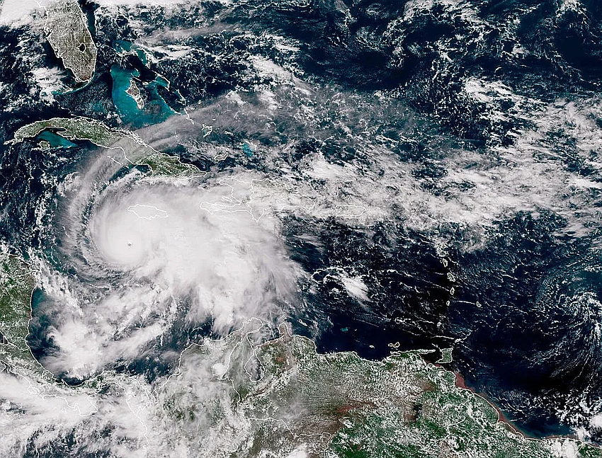
Hurricane Melissa roared toward Jamaica with winds of 296 km/h at landfall, tying the strongest surface winds ever recorded for an Atlantic hurricane at landfall and underscoring how rapidly storms are intensifying in a hotter ocean.
Forecasters noted Melissa defied the conditions that usually weaken major hurricanes. It achieved extreme rapid intensification—a jump of at least 92 km/h in 24 hours—with reports that Melissa added about 112 km/h in a single day last week and even staged a second round of intensification that pushed its winds to around 280 km/h.
The storm lingered offshore of Jamaica for a time, maintaining a brutal punch that experts say is unusual even among the era's record storms, as it avoided a full eyewall replacement cycle that often disrupts a cyclone's strength.
Historically, Melissa's low pressure and wind speed at landfall placed it among the strongest Atlantic hurricanes on record. The 296 km/h wind speed matched marks set in past decades, while the pressure tied a legendary Florida storm from 1935. Only a few storms have exceeded this wind force at landfall, with Allen (1980) reaching higher winds but not at landfall.
Beyond the numbers, Melissa’s trajectory contributes to growing discussions about the season’s intensity. The Atlantic has produced multiple Category 5 storms this year, and some observers note that the 20-year span without such high activity is ending as warmer oceans fuel stronger systems.
Authorities warned Jamaica could face catastrophic winds and a storm surge—estimates suggested up to 13 feet—along with flooding and widespread outages, prompting evacuations and urgent preparations as relief agencies mobilize. As Melissa bears down, scientists stress that a hotter Atlantic is a key driver behind these extreme events, underscoring the need for preparedness and resilient infrastructure across Caribbean communities.
Cover image source: Why Are We Seeing More Category 5 Hurricanes? 🔗
