Snow risk creeps in as Storm Claudia clears UK skies

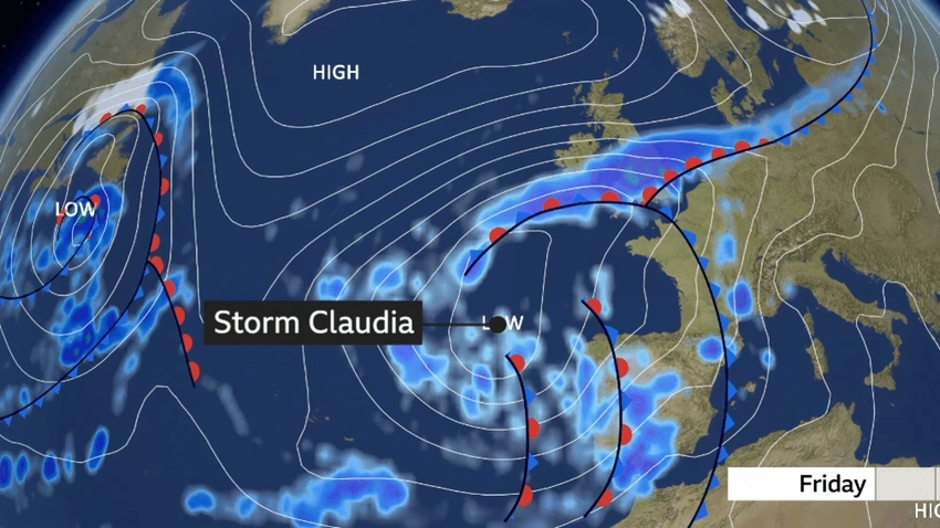
Snow risk creeps in as Storm Claudia clears UK skies
Storm Claudia clears, but an Arctic chill follows with frost risk and a chance of snow in parts of the UK as flood alerts continue.
Storm Claudia has moved on, but a sharp Arctic punch is set to sweep across the UK this week. Northerly winds will push daytime temperatures down by as much as 8C in England and Wales compared with Thursday, turning what felt mild earlier in the month into a biting chilly spell. The colder air is expected to spread across the country by Monday, bringing a more widespread risk of frost and the possibility of snowfall in some areas as the week unfolds.
The storms left a trail of heavy rain and flooding in many places. Warnings remain in place as flood risks linger and communities brace for disruption. In South Wales, fire services described a large-scale incident as England braces for cold weather warnings. The weather outlook now centers on a quick shift from rain to cold, with the cold snap taking hold through the week before temperatures begin to recover somewhat next weekend.
Officials have issued yellow cold weather alerts for central and northern parts of England, covering the period from 8am Monday 17 November to 8am Friday 21 November. It’s a reminder that, while the heaviest rainfall may pass, the risk of frost, icy patches on roads, and travel delays will persist as the air turns bitter.
Forecasts suggest that milder Atlantic air could return next weekend, but for now residents should prepare for frosty mornings, darker days, and the potential for a light dusting of snow in some places. Keeping an eye on local warnings and planning trips accordingly will help people ride out the chilly spell.
