44% of Indian cities face chronic pollution; NCAP covers just 4%

44% of Indian cities face chronic pollution; NCAP covers just 4%
A CREA analysis finds nearly half of India's cities battle chronic PM2.5 pollution, with NCAP reaching only a fraction of them.
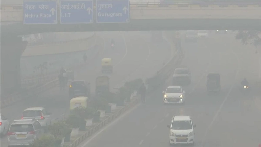
A new satellite-based assessment tracks PM2.5 levels across 4,041 Indian cities and reveals a striking national pattern: about 44% experience chronic air pollution, indicating a structural problem driven by persistent emission sources rather than short-term episodes. Even more telling is the scope of policy action, with only 4% of these chronically polluted cities covered under the National Clean Air Programme (NCAP). The study highlights a disconnect between where pollution is worst and where formal clean-air efforts are concentrated.
The 2025 rankings name Byrnihat in Meghalaya, Delhi, and Ghaziabad in Uttar Pradesh as the top three most polluted cities, posting annual PM2.5 concentrations of 100 µg/m³, 96 µg/m³, and 93 µg/m³ respectively. Noida comes in fourth, followed by Gurugram, Greater Noida, Bhiwadi, Hajipur, Muzaffarnagar, and Hapur, illustrating that pollution impacts both megacities and smaller urban hubs.
The analysis also sheds light on NCAP’s limited reach: out of 1,787 persistently non-attainment cities identified, only 130 were brought under NCAP, with just 67 overlapping those cities. As a result, NCAP addresses only about 4% of India’s chronically polluted urban areas. A further concern is monitoring coverage—28 NC cities lack continuous ambient air quality monitoring stations, and even among those with stations, gaps in data and enforcement persist.
Regionally, Uttar Pradesh tops the list of states with the most non-attainment cities (a sign of widespread pollution challenges beyond Delhi’s urban core). Other states such as Rajasthan, Gujarat, Madhya Pradesh, Punjab, Bihar, and West Bengal also feature prominently in non-attainment counts. The findings underscore the need for a substantial acceleration of NCAP coverage, stronger monitoring networks, and comprehensive emission-reduction strategies spanning transportation, industry, and energy sectors. The use of satellite data in city-level tracking marks a significant step toward transparent, evidence-based policymaking, but translating insights into concrete reforms remains the critical next hurdle.
