Hurricane Polo Slams Mexico's Coast, US Southwest Braces for Rain

Hurricane Polo Slams Mexico's Coast, US Southwest Braces for Rain
Category-3 Hurricane Polo makes landfall in Baja California Sur with fierce winds and torrential rain, causing widespread flooding and power outages. Its remnants are now heading towards the US Southwest, promising heavy
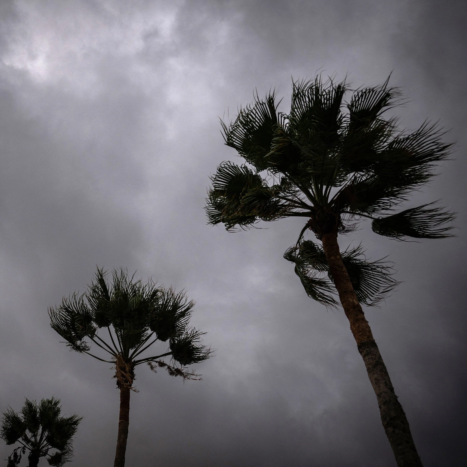
Hurricane Polo has made landfall along Mexico's northern Pacific coast, unleashing life-threatening winds and torrential rain on the state of Baja California Sur. The powerful category-three storm, fueled by the El Niño climate phenomenon, came ashore just south of the fishing village of Las Barrancas, bringing maximum sustained winds of 110 mph (175 km/h). Coastal areas have already experienced significant flooding and power cuts.
Residents in the affected regions were urged to seek shelter. Marìa Palomino, a 57-year-old shopkeeper, shared her experience of spending the night in a temporary shelter, emphasizing, "If something happens, it's better to come to the shelter." A local whale-watching guide described the approaching storm as "coming with full force" while boarding up his home.
The US-based National Hurricane Center (NHC) reports that while Polo is expected to weaken as it crosses the Baja California peninsula, it is forecast to maintain hurricane strength for its second landfall in mainland Mexico, specifically the southern part of the state of Sonora.
Meteorologists warn that Polo could dump between 6 and 12 inches (150-300mm) of rain across parts of Baja California Sur.
This significant rainfall could lead to life-threatening flooding and dangerous mudslides, particularly in areas with steep terrain. A storm surge is also anticipated, threatening coastal communities with significant flooding and destructive waves. The storm's path extends beyond Mexico.
As Polo moves northeast, its remnants are expected to bring a surge of tropical moisture northward, impacting the US Southwest. Arizona, New Mexico, Colorado, and Utah are preparing for excessive rainfall and flash flooding in the coming days, with some spots potentially receiving 6 to 7 inches of rain by Thursday. This moisture will combine with the remnants of another hurricane, Odalys, intensifying the rainfall across the region.
Popular tourist destinations, including Cabo San Lucas, known for its natural rock arch, have already felt the storm's impact.
Authorities had restricted beach access as a precautionary measure. Dangerous surf and rip currents are expected to continue along Mexico's northwestern coast for the next day or so.
